Map of the Mission |
[ Page Admin ] |
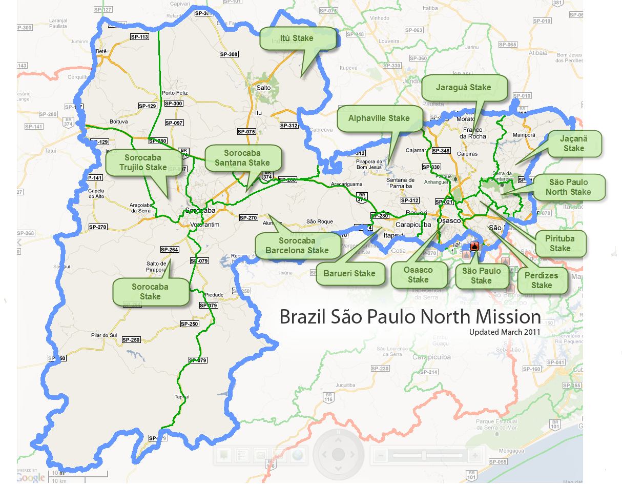
Maps of the Brazil São Paulo North mission
I've tried to compile this page as a resource for those who are interested in approximate maps of the mission. I've compiled this information from what I remember about the city, as well as some information from the LDS Maps website.
I obtained satelite images of MBSPN (Missão Brazil São Paulo Norte) from Google Earth (earth.google.com) and Google Maps. If you are interested in looking up the city of São Paulo for yourself, you can use the following GPS coordinates, which are for the São Paulo temple grounds:
-23° 35' 07.59", -46° 43' 22.92"
(You can copy and paste the above line into Google Earth or another mapping program)
That is the same thing as:
23 degrees 35 minutes 07.59 seconds South
46 degrees 43 minutes 22.92 seconds West
How to view the maps:
On this page, you see a small version of the picture; if you click the picture, a large version will open in a new window. You may need to disable pop-up blockers for this to work. Be aware that some of these images are quite large, both in length/width and file size. They may take some time to load, especially if you are a dial-up user. Some browsers will automatically scale the image to fit in your browser window. If you click on the image again, it will go to full-size.
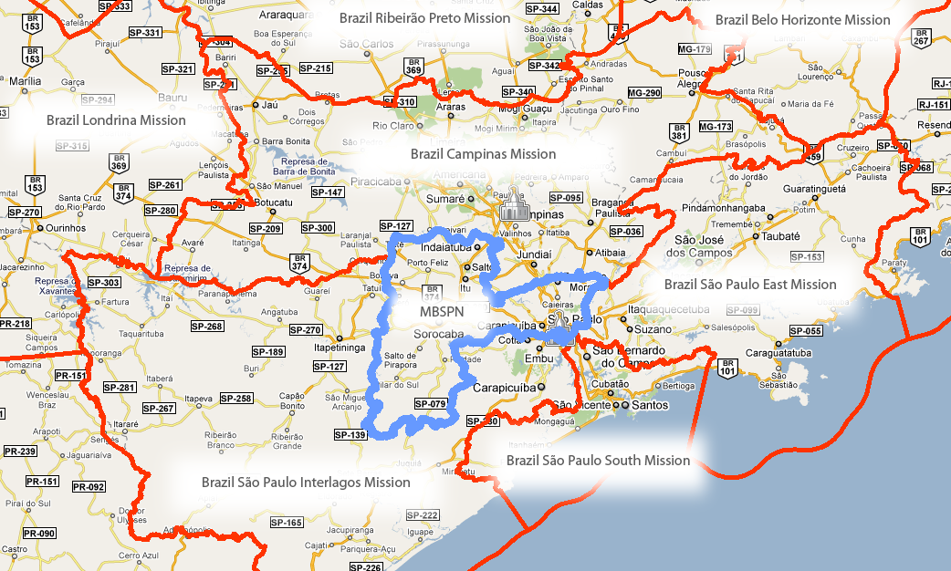
Neighboring Missions |
Whole mission
|
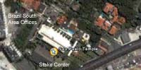
Sao Paulo Temple area
|
Brazil MTCI don't have a picture of this one, but one user asked if I could provide GPS coordinates for the Brazilian MTC. There is a great Google Earth street view of the Brazilian MTC which you can see here. (You may need to install the Google Earth plugin for your browser to see it.) The street view lets you see a 360-degree view of the street front where the MTC is located. Here are the coordinates for the Brazilian MTC: 23 degrees, 30 minutes, 34.61 seconds South The Google Earth coordinates are: -23° 30' 34.61", -46° 39' 39.39" |